

AI-Powered Satellite Imagery Constellation for the Gulf Region
Our Expertise
Delivering Earth Observation Missions with Advanced Geospatial Insights
Key Capabilities
All platforms feature advanced, full integration and verification capabilities carried out at our Middle East facilities in partnership with AQMAAR.
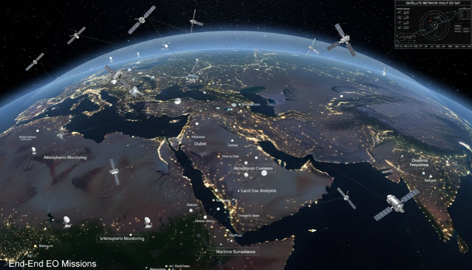
Satellite Mission Design & Manufacturing (EO Platforms)
- Multi-sensor satellites
- Mission engineering
- Secure data delivery
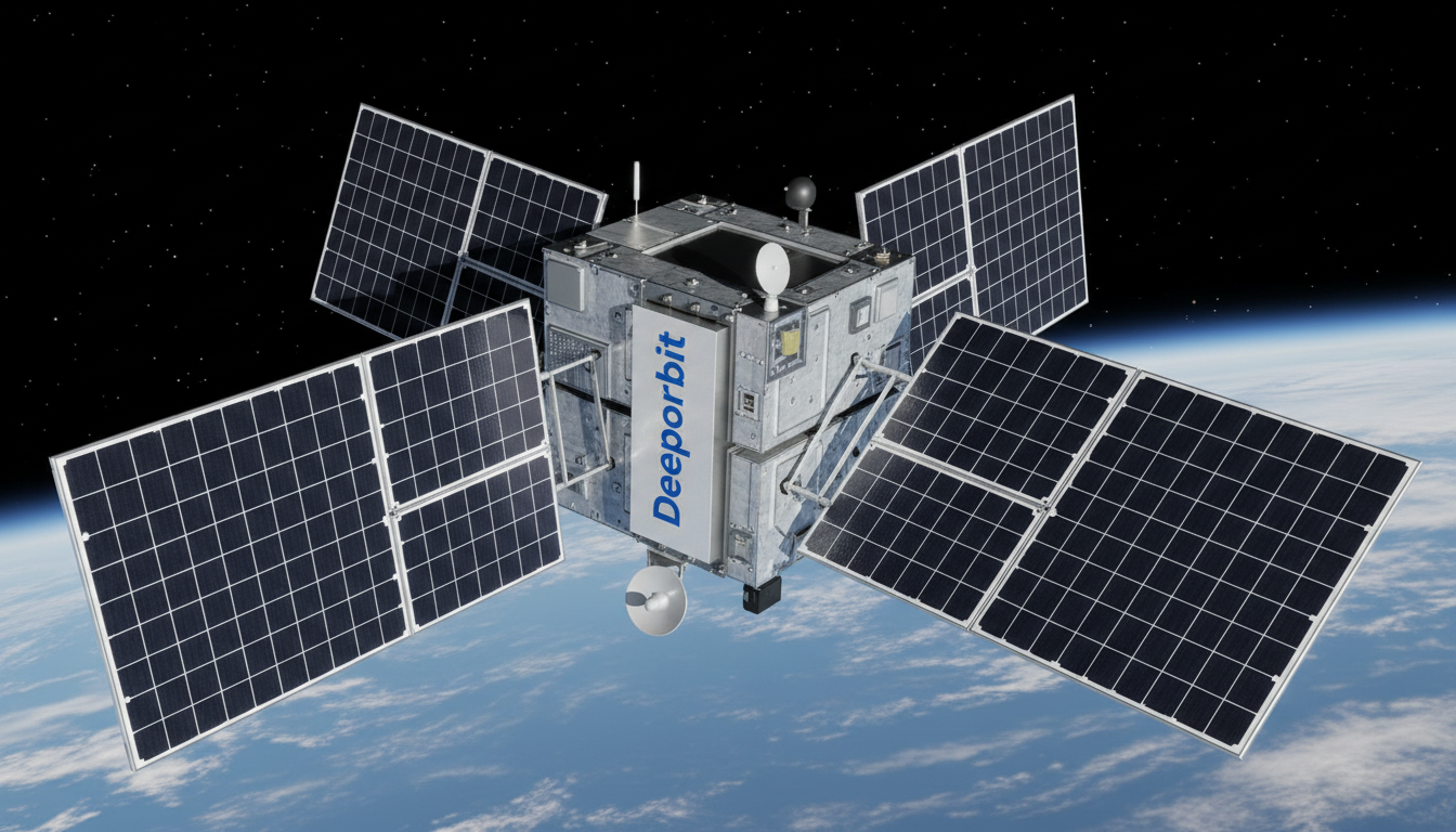
Multispectral Imaging Capabilities
- Full spectral coverage from optical to thermal missions:
- Multispectral: Agriculture, water monitoring, infrastructure, and land management
- Hyperspectral: Advanced spectral analysis for precise material identification
- Thermal: Heat detection, temperature monitoring, and environmental assessment
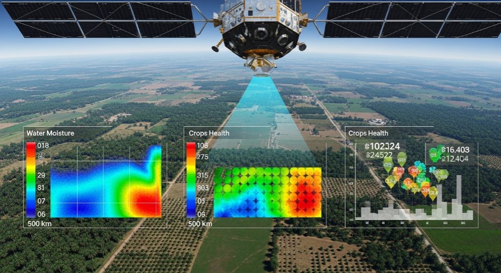
Advanced Remote Sensing Data Processing & AI Analytics
AI-driven geospatial intelligence derived from satellite imagery:
- Image processing
- Cloud-based GIS
- Agricultural analytics
- AI-powered change detection
- Early warning alerts